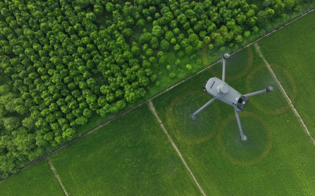
Aerial imagery has been used in agricultural research for years, but it hasn’t been adopted in production agriculture nearly as much as you might expect. That’s actually how I got my start in this space. Before getting into spray drones and ground systems, I worked as an account manager at Solvi, where I worked with companies like Bayer, Monsanto, and other research and production groups, helping them analyze aerial imagery and field trial data with Solvi’s platform.
In the research world, imagery was used constantly to measure plant health, emergence, treatment performance, and field variability. But when you stepped into production agriculture, most farms were still making decisions without that level of field-wide data. That disconnect is where a huge opportunity exists today.
Research Agriculture vs Production Agriculture
In research agriculture, aerial imagery is used all the time. Trial plots are flown regularly, sometimes weekly, sometimes even more often. Researchers use aerial data to analyze plant vigor, emergence rates, disease pressure, nutrient response, and treatment performance across different hybrids, varieties, and fertility programs.
In production agriculture, the priorities are different. Farmers are focused on planting, spraying, irrigating, harvesting, and managing costs. Historically, aerial imagery has often been viewed as interesting or nice to have, but not always necessary for day-to-day decision making.
The problem is not that aerial imagery isn’t valuable. The problem is that most imagery services historically were not tied directly to decisions that either saved farmers money or increased yields. That’s starting to change.
The Real Opportunity for Drone Operators: The Service Layer
Most people entering the spray drone industry focus on spraying acres. But one of the biggest opportunities in this industry is actually the data layer, providing agronomic insights from aerial imagery.
If a drone operator is already flying fields for spraying, adding imagery collection is one of the easiest additional services they can offer. And for farmers, the value can be significant if the data is tied to real decisions.
There are three major low-hanging fruit services that production agriculture can benefit from immediately.
Plant Health Maps and Prescription Files
This is probably the biggest opportunity right now.
Using multispectral imagery, drone operators can generate plant health maps that show crop vigor across the entire field. These maps identify areas where crops are stressed, underperforming, or developing unevenly.
This information can then be used to create prescription maps for:
- Variable rate fertilizer
- Variable rate fungicide
- Variable rate herbicide
- Variable rate seeding for the next season
Instead of applying inputs across the entire field at the same rate, farmers can target only the areas that actually need it. With fertilizer and chemical costs continuing to rise, this can significantly reduce input costs while maintaining or even increasing yields.
This is where aerial imagery moves from being interesting to being financially valuable.
Stand Counts
Stand counts are one of the oldest practices in agriculture. Traditionally, farmers use a hoop, measuring stick, or row count method, sample a few spots in the field, and then extrapolate plant population across the entire field.
This method works and has been used for decades, but it has one major limitation. It only tells you the average stand count, not where the problems are.
With aerial imagery and plant counting software, drone operators can:
- Estimate plant population across the entire field
- Identify areas with poor emergence
- Identify skips, overlaps, and planter issues
- Identify soil or moisture problems
- Help guide replant decisions
The real value is not just counting plants. The real value is identifying where plants are missing and why.
Once problem areas are identified, farmers can:
- Soil sample those zones
- Check irrigation or drainage
- Check compaction issues
- Adjust fertility programs
- Fix planter problems for next season
These turns stand counts from a sampling exercise into a field-wide diagnostic tool.
Zonal Management and Field Variability
Every field has variability. Soil types change, elevation changes, moisture changes, organic matter changes, and yield changes.
Aerial imagery allows operators to divide fields into management zones and generate zonal statistics such as:
- Average plant health per zone
- Variability within zones
- Problem areas
- Consistent high-performing areas
- Drainage patterns
- Compaction zones
- Nutrient deficiency zones
This allows farmers to manage fields in zones instead of treating the entire field the same.
Zonal management can be used for:
- Variable rate fertilizer
- Variable rate lime
- Variable rate seed
- Variable rate irrigation
- Targeted spraying
- Soil sampling by zone
- Yield analysis comparisons
This is one of the foundations of precision agriculture.
Why Spray Drone Operators Are Perfect for This
Spray drone operators are already:
- Traveling to fields
- Flying over fields
- Working with farmers
- Managing application data
- Creating maps
- Using GIS software
- Working with prescription files
Adding imagery services is a natural extension of what drone operators already do.
A drone operator who only sprays acres is a contractor.
A drone operator who sprays, maps, provides plant health data, stand counts, and prescription files becomes a precision agriculture service provider. That is a completely different business model and a much more valuable one.
The Future of Drone Operations in Agriculture
The long-term future of agricultural drones is not just spraying. It is data, mapping, prescription files, targeted applications, and full field management support.
Operators who understand this early will build stronger businesses, provide more value to farmers, and create additional revenue streams beyond just dollars per acre.
Aerial imagery in production agriculture has not been fully adopted yet, but it will be. And the operators who combine spraying, mapping, data, and prescriptions will be the ones who lead the industry over the next decade.