DJI Mavic 3 Multispectral
$5,699.00
Precision Agriculture Drone for Crop Analysis and Mapping
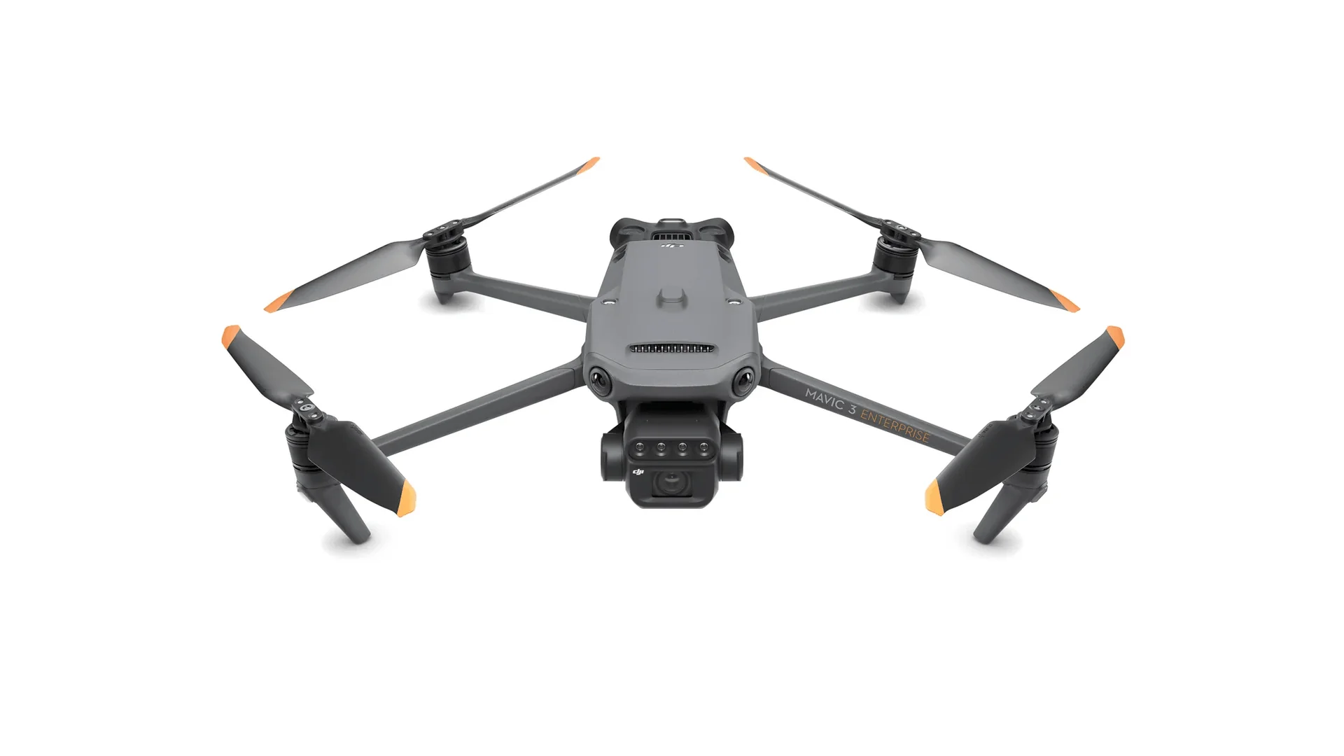
The DJI Mavic 3 Multispectral is a specialized agricultural drone designed for precision crop monitoring, field analysis, and data-driven farming decisions. By combining high-resolution RGB imaging with multispectral sensors, the platform enables operators to capture detailed plant health data across large agricultural areas.
Designed for agronomists, researchers, and agricultural service providers, the Mavic 3 Multispectral provides accurate crop insights through advanced imaging and intelligent flight planning. With precise positioning and efficient mission automation, it helps agricultural professionals monitor crop health, detect stress early, and improve field management decisions.
Multispectral Imaging System
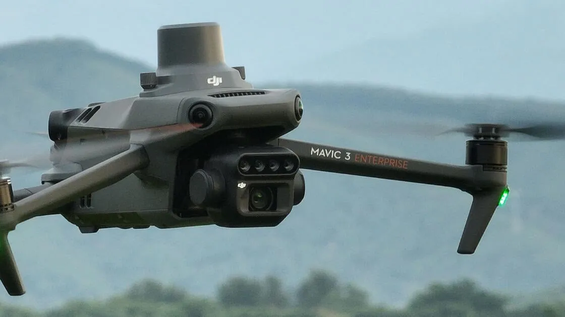
The DJI Mavic 3 Multispectral integrates a powerful imaging system designed to capture detailed plant health data across agricultural fields.
Key imaging capabilities include:
• Multispectral sensors designed for crop analysis
• High-resolution RGB camera for visual inspection
• Simultaneous multispectral and RGB image capture
• Accurate vegetation data for agricultural analysis
This advanced imaging system allows operators to monitor crop conditions and detect plant stress before it becomes visible to the naked eye.
Precision RTK Positioning
The Mavic 3 Multispectral supports RTK positioning technology, enabling highly accurate aerial mapping and data collection.
Positioning advantages include:
• Centimeter-level positioning accuracy
• Improved mapping precision for agricultural analysis
• Consistent flight paths for repeatable missions
• Enhanced data alignment for crop monitoring
This level of accuracy allows agricultural professionals to compare field data over time and track crop development throughout the growing season.
Efficient Field Coverage
The compact design and efficient flight performance of the Mavic 3 Multispectral allow operators to survey large agricultural areas quickly.
Operational benefits include:
• Efficient field coverage for large farms
• Optimized flight planning for mapping missions
• Stable flight performance for accurate image capture
• Reduced time required for aerial crop monitoring
These capabilities allow agricultural drone operators to collect valuable field data in a fraction of the time required by traditional scouting methods.
Advanced Crop Health Analysis
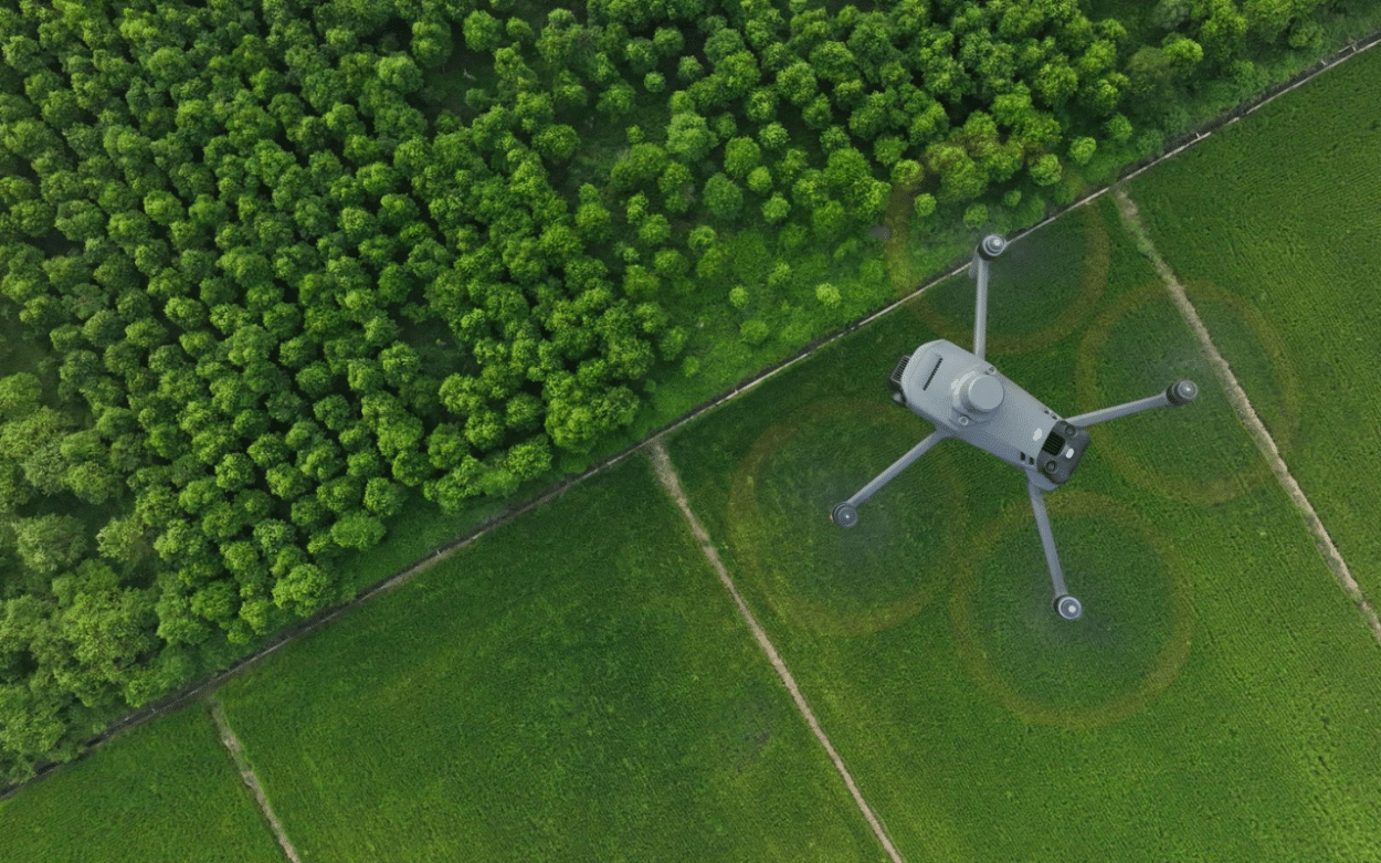
The multispectral imaging system enables detailed vegetation analysis used in modern precision agriculture.
Crop analysis capabilities include:
• Vegetation index generation such as NDVI
• Identification of crop stress and nutrient deficiencies
• Detection of irrigation issues and disease development
• Data collection for precision agriculture decision making
These insights help farmers and agronomists make informed decisions that improve crop yield and resource efficiency.
Intelligent Flight Planning
The Mavic 3 Multispectral supports automated flight planning tools designed for efficient agricultural data collection.
Automation features include:
• Automated mapping flight routes
• Consistent mission repeatability
• Intelligent waypoint navigation
• Optimized coverage for agricultural surveys
These features simplify aerial mapping missions and ensure consistent data collection across large agricultural fields.
Compact and Reliable Enterprise Design
The DJI Mavic 3 Multispectral combines enterprise reliability with a compact drone platform that is easy to deploy in the field.
Design advantages include:
• Portable platform for rapid deployment
• Reliable enterprise flight systems
• Stable imaging platform for aerial data capture
• Durable design for field operations
This combination of portability and performance makes the Mavic 3 Multispectral an efficient tool for agricultural professionals.
Built for Precision Agriculture and Data-Driven Farming
The DJI Mavic 3 Multispectral provides agricultural professionals with a powerful aerial platform for monitoring crop health and improving field management decisions. By combining advanced multispectral imaging, precise positioning, and intelligent mission automation, the drone enables accurate agricultural analysis across large farming operations.
Whether used for crop scouting, vegetation analysis, or precision agriculture mapping, the Mavic 3 Multispectral delivers reliable aerial data that helps farmers and agronomists improve productivity, reduce input costs, and make smarter decisions throughout the growing season.